Share the page
Strengthening capacities and access to satellite data for forest monitoring in Central and West Africa
Project


-
Project start date
-
Status
Completed
-
Estimated date of project termination
-
-
Project financing date
-
-
Financing duration
-
3 ans
-
Type of program
-
FFEM
-
Global financing amount
-
14550000 €
-
FFEM financing amount
-
3350000 €
-
Project lead member institution(s)
-
AFD, Ministry for Europe and Foreign Affairs
-
Country and region
-
Ethiopia, Equatorial Guinea, Kenya, Liberia, Mozambique, Central African Republic, Democratic Republic of the Congo, Tanzania, Cameroon
-
Location
-
Gabon
-
Type of financing
-
Grant
-
Partners
-
AFD, IRD
-
Beneficiaries
-
IRD
-
Type of beneficiary
-
Non-financial public or parastatal company
Preserving forests in Central Africa and West Africa by allowing countries in these two regions to define and implement administratively, economically and socially effective national REDD+ strategies.
Context
The fight against deforestation is seen as one of the ways to reduce GHG emissions in the short term. The possibility of taking part in the definition of REDD+ mechanisms depends on the capacities of Central African countries to produce information on the past and current level of their GHG emissions, related to deforestation and forest degradation, and to indicate the policies and measures they intend to implement to reduce these emissions and the methods they are going to use to measure the future level of GHG emissions.
Central African countries do not have the capacities and means in terms of access to Earth observation data and its use. The operational availability of satellite data and capacity building for processing these data are fundamental issues for improving natural resources management.
Description
The project comprises five components:
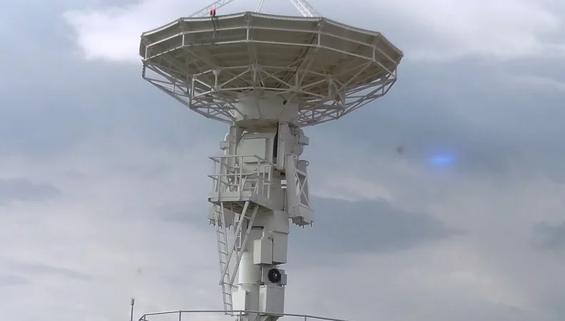
- Develop data access infrastructure;
- Improve data processing capacities for forest monitoring, and build the technical skills of regional and national competence centers and specialized institutions in Central Africa and West Africa;
- Conduct a national mapping of changes in forests;
- Set up applied research programs and North-South and South-South international partnerships to improve the use of optical and radar satellite data;
- Participate in international initiatives so that the countries concerned and competence centers identified effectively contribute to the coordination of the main initiatives for the use of Earth observation satellite data for forest monitoring in the context of the future REDD+ mechanism.
Impacts
- Build the technical capacities of national institutions, with a contribution to the effective implementation of the actions required by the REDD+ mechanism, which will eventually generate incomes for the countries in question.
- Improve access to data and build capacities going beyond the context of forest monitoring and providing the countries in question with the required competences in fields such as territorial planning and support for national zoning programs.
- Develop national forest monitoring systems and implement policies related to these international mechanisms for the reduction of GHG emissions from deforestation and forest degradation and a more effective preservation of forests and their biodiversity. The data and competences generated by the project will support the activities of the managers of protected areas and local research on the issues of biodiversity monitoring and management.


